Best Short Hikes on the Gunflint Trail
The plethora of hiking options on the Gunflint Trail can be overwhelming, especially if it is your first time visiting or have limited time, or even worse both. There are hiking trails that run on for 40 miles in one direction, or trails that have so many turns and loops you should not consider taking without map and compass. Then there is the Gunflint Trail itself, on first hearing of it people assume it is an actual trail, and originally it was, but now it is a remote two lane scenic byway with little to no shoulder, so don’t plan on hiking the Gunflint Trail. Depending on the map you are consulting you may see other trails listed which can be confusing as well, because some of these are snowmobile or cross-country skiing trails. To help you in finding a quick, easy to follow and fun trail we have put together a list of some of our favorites if you’re just up for the afternoon, or just have an hour or so to kill before dinner.
George Washington Pines
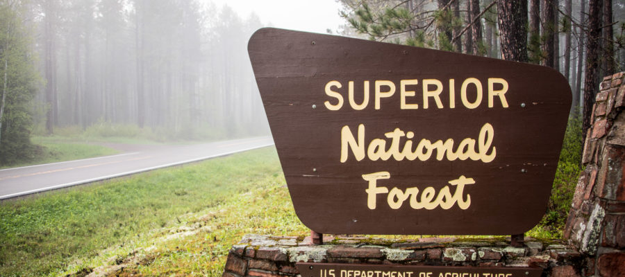
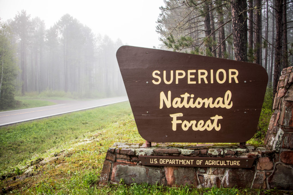
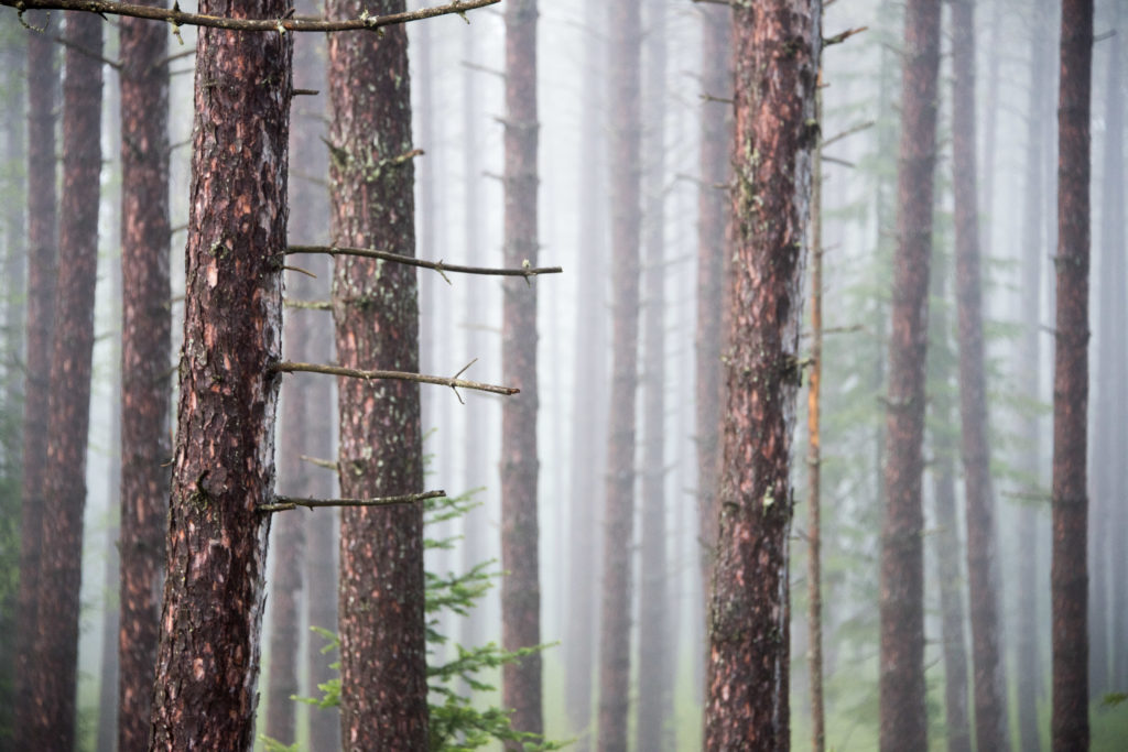
At about eight miles up the Gunflint Trail it is the closest trail to Grand Marais and the trailhead is right off the Gunflint Trail across from the Superior National Forest sign on the left if you are heading North. This trail was mentioned in our cross-country ski trail rundown, but in the summer you can hike the same trail. Though this is not the case with all ski trails in the summer it definitely is here, with a nice level and mostly dry 2-mile loop through old growth Red Pine. There are not very many places you can find stands of old pines like this anymore.
Northern Light Trail
Next up the trail heading north is this 1 mile out and back trail that offers some excellent views of the Gunflint Trail itself, the Brule River valley and depending on the time of year Northern Light Lake itself. It is considerably steep and when wet very slippery so be prepared with proper footwear. The trailhead has a parking lot about 12 miles up the Gunflint Trail on the right but is on a sharp curve and easy to miss, if you do miss it keep your eyes open for a sign for Northern Light Lake access shortly after on the right to turn around.
Honeymoon Bluff Trail
This is the closest trail to our location and one of the most popular on the Gunflint Trail for its sweeping views overlooking Hungry Jack Lake and West Bearskin Lake. Its faces directly west making it the perfect spot to catch the sunset, though beautiful anytime of day, getting up there about a half-hour before sunset is really the way to do it. This trail is pretty short at a little over a half mile but has a steep set of about 75 stairs to get up to the top. To get here head up the Gunflint Trail about 26 miles and turn down Clearwater Road on the right, drive down Clearwater another 3 miles and you will find a sign marking the trail head on the left.
Caribou Rock Trail
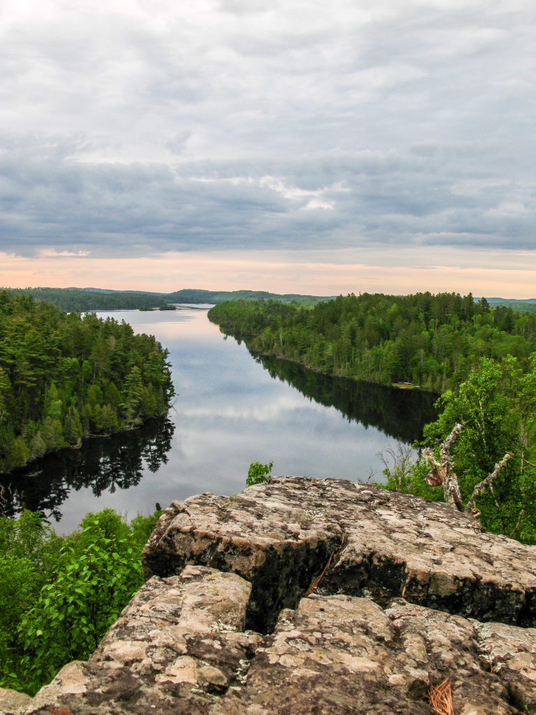
The next road on the right hand side past Clearwater Road on the Gunflint Trail is Hungry Jack Road, which is where you will find the Caribou Rock Trail. After turning down Hungry Jack Road you will literally drive through the parking lot for the trail about 2 miles in, if you get to Hungry Jack Lodge you have gone too far. This is a trail that if hiked in its entirety will take you to Rose Falls and if hiked out and back is a little over 7 miles. While this is an excellent, though quite rugged option for getting to Rose Falls we are listing it here for its first overlook which only about ¾ of mile up the trail. The climb to the overlook isn’t necessarily steep but is always climbing between the parking lot and overlook. The views from the top overlook the length of West Bearskin Lake and creates excellent opportunities to watch the sunrise as it faces directly East.
Magnetic Rock Trail
Almost at the end of the Gunflint Trail this trail is the farthest away from Grand Marais and the longest trail listed. Its trailhead is right on the road just past the sign for Tuscarora Canoe Outfitters. It is about a 3 mile round trip hike over flat terrain and ends at a mysteriously upright 40-foot glacial erratic which has magnetic properties. It is the start of the Border Route Trail so if you hike past the rock you will be continuing on towards Gunflint Lake and the 40 miles of trail that make up the BRT. Terrain wise it is a very easy trail to hike and follow, but in recent years it has been affected by fire so there is little to no tree cover; keep this in mind on those hot summer days. Though it has declined over the years this is still an excellent place to pick blueberries in the summer when they are ripe.



Leave a Reply
Your email is safe with us.
You must be logged in to post a comment.